DJI Terra PRO Oversea Upgrade (Pro_Online_Version 1 device upgrade to offline Version 1 device)
DJI Terra PRO Oversea Upgrade (Pro_Online_Version 1 device upgrade to offline Version 1 device)
Couldn't load pickup availability


DJI Terra Pro Upgrade: 2D/3D reconstruction software (photogrammetry, LiDAR). Switch between online and offline. Ideal for DJI Enterprise drones, mapping and professional surveying.
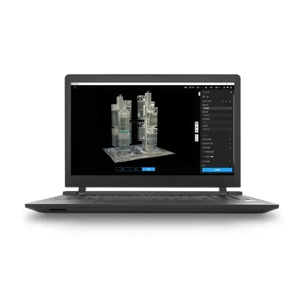
DJI Terra is a 3D reconstruction software [1] based on photogrammetry technology, which supports a wide range of accurate and efficient 2D and 3D visible-light reconstructions and data processing via DJI LiDAR. DJI Terra is the perfect match for DJI Enterprise drones and payloads, integrating with them to create a complete solution that meets the needs of vertical industries such as land surveying and mapping, power transmission, emergency services, construction, transportation, and agriculture.
- 2D and 3D visible light reconstruction [2] : It is possible to import raw aerial photos to obtain a highly accurate 2D orthophoto map and a 3D model of a real scene.
- LiDAR Data Processing: When working with DJI Zenmuse LiDAR, DJI Terra can generate highly accurate results, such as true-color point clouds and one-click point cloud classification.
- Multispectral Reconstruction [3] : DJI Terra supports radiometric correction and reflectance map production for remote sensing scientific research. It can also generate vegetation indices such as NDVI and NDRE.
- Real-time reconstruction [4] : DJI Terra can generate 2D orthophoto maps or 3D models in real time during flights and produce results.
- Detailed Inspection [5] : DJI Terra can automatically generate executable inspection flight routes after adding target points based on a model or point clouds. In this way, the inspection process is automated.
- Model Application: DJI Terra allows you to easily measure coordinates, distances, areas, volumes and other key data of objects, as well as rename and export the data results.
- Authorized Modes: Both online and offline authorizations are supported.
[1] A Windows 10 or later (64-bit) system is required to run the software.
[2] Minimum computer configuration requirements: 32 GB of memory, an NVIDIA graphics card with a compute capability of 6.1 or higher (4 GB graphics memory)
[3] Multispectral reconstruction supports DJI Mavic 3M and P4 Multispectral.
[4] Only the Phantom 4 series is supported and the configuration requirements listed in [2] also apply to real-time 3D reconstruction.
[5] Exported flight routes can only be used with the Matrice 300 RTK or Phantom 4 RTK (radio control (RC) without screen).
Shipping and Warranty
Shipping and Warranty
All products available in stock will be delivered with an average timing of 24/48 hours.
Italy warranty with dedicated consulting support, contact us!