Construction planning and design - DJI ENTERPRISE
Site survey and key design benefits
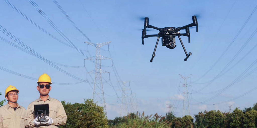
Planning of the construction of power lines
Map large areas to acquire detailed and accurate data using drones. Project teams can optimize power line designs based on accurate geographic coordinates.
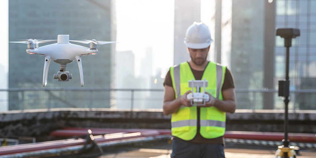
Site survey
Project teams can rely on cost-effective drone solutions to efficiently visualize reality and collect the survey data needed to assess large construction sites.
Planning of the construction of power lines

Traditional challenges in planning the construction of power lines
- The lack of accurate location data makes it difficult to align BIM projects, road vector maps and satellite imagery, which costs time and manpower.
- Without a real model, it is difficult to accurately account for a safe distance between power lines and nearby buildings during the design phase.
- BIM projects can be very different from the reality model, making it difficult to visualize and verify the project.
How drones improve the planning of the construction of power lines
- Quickly take off and fly over the construction site to create a 3D model of the area where a route might be planned.
- Create 3D models with accurate positioning data that can easily be adapted to BIM models to visualize designs.
- Generate better route designs using 3D models compatible with a variety of GIS software.
Site survey

Traditional challenges in site analysis
- Network construction sites are often located in complex geographies that are difficult to access and that require a lot of time, manpower and investment in surveying equipment.
- Data from satellite or manned aircraft is expensive and cannot be accessed on demand, while data accuracy is poor.
- The DLGs produced are difficult to view, unlike 2D maps or 3D models.
How drones boost site investigation
- Easily take off and fly over complex job sites to collect highly accurate data.
- Quickly generate 2D orthomosaics and 3D models as references for engineering planning and design.
- Overlay drawings with 2D and 3D reconstructions to visualize the effect and make changes.


 https://www.instagram.com/3digital.tech/