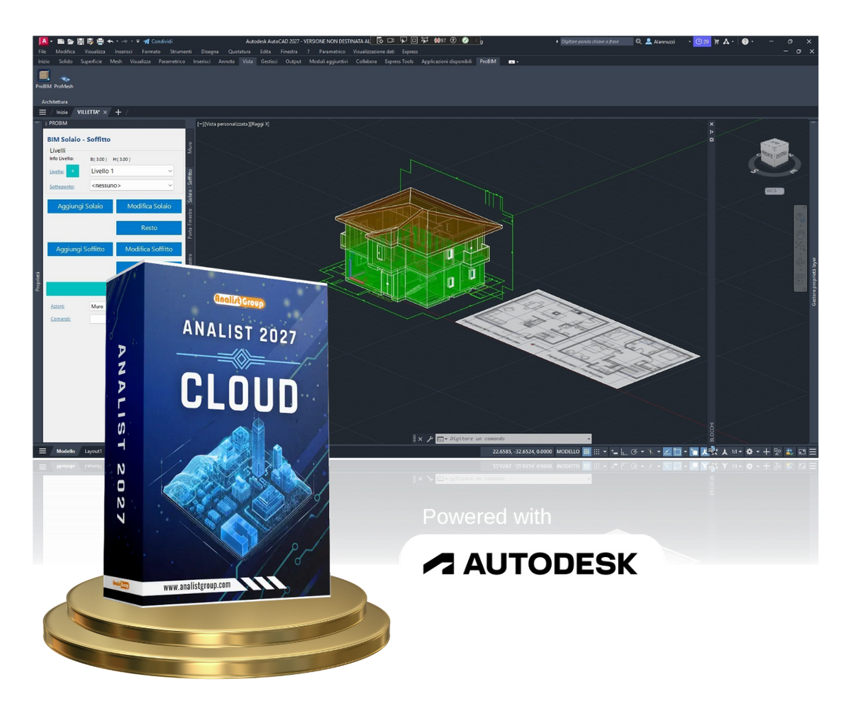
Analist Cloud 2027 - Surveying Software
Analist Cloud 2027 - Surveying Software
Couldn't load pickup availability


- Enhanced Cadastre module (fluid menu + suggestion tool)
- Topography, measurement records, PREGEO, cadastral subdivisions
- All 2027 updates included
See how it works on your daily surveys
What until yesterday required specialized software and weeks of work is now within reach of every surveying firm.
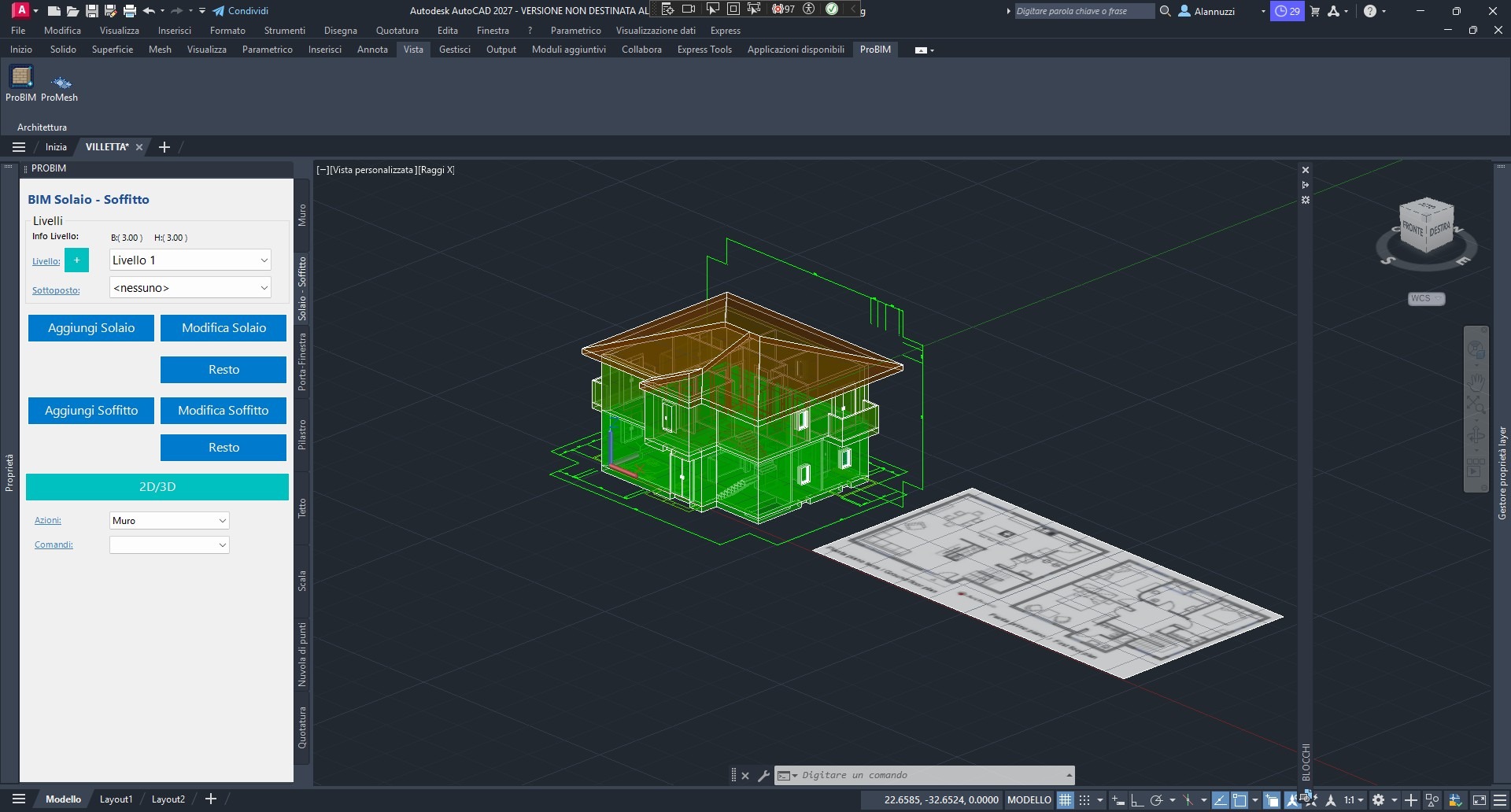
Detached house
Walls, floors, pitched roof, and internal staircase modeled directly in Analist. 3D model and IFC export ready for delivery.
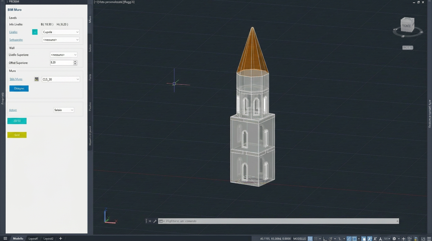
Historic bell tower
From laser scanner survey to BIM model of the existing building: complex geometries resolved with parametric objects and custom profiles.
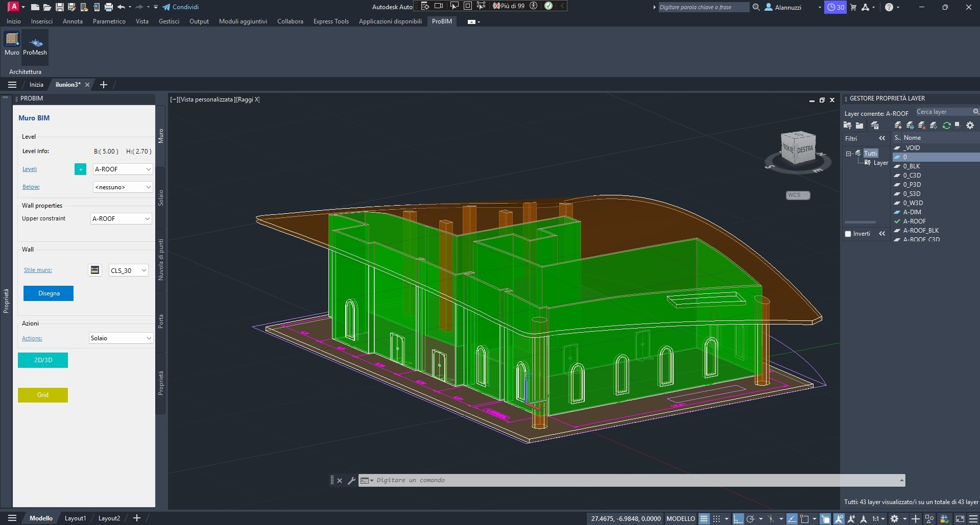
Single-nave church
Vaults, arches, and thick walls managed with the same logic as a simple floor plan. Reverse engineering of existing structures in reduced time.
A single software,
all your survey tools
Analist is the destination of your workflow: it communicates with Matterport, GPS ProTRACK, thermal drones, and SLAM scanners to bring all data into the same work environment.
From Matterport scan to BIM, floor plans, and appraisals in Analist
Import Matterport Pro3 3D scans into Analist: point clouds, meshes, and immersive tours become the foundation for BIM models, floor plans, and appraisals with direct measurements from the digital twin.
From GPS ProTRACK to topography, cadastre, and design in Analist
Native integration with GPS ProTRACK: measurement records, staking out, and RTK coordinates arrive in Analist without intermediate steps, ready for topography and cadastral work.
From drone flight to orthophoto, DSM, and thermal maps with Analist InfraPRO
Complete workflow for drone photogrammetry and thermography: orthophotos, DSMs, 3D models, and thermal maps processed in Analist InfraPRO for inspections of buildings, plants, and infrastructure.
SLAM EAGLE + RAVEN
From Eagle & Raven to indoor point cloud processed in Analist
Point clouds from the SLAM Eagle and Raven family enter Analist directly: indoor surveys, tunnels, and construction sites rendered in 3D in just a few minutes, with no targets or stop-and-go required.
A Cadastre module that is more fluid and intelligent
All of Analist's know-how regarding the Italian cadastre, with an interface revamped to be faster to use every day.
Fluid and reorganized menu
PREGEO, cadastral subdivision, and mapping type commands are grouped by workflow phase. Fewer clicks, fewer windows, more productivity on every file.
Intelligent suggestion tool
While you work, Analist suggests the next most likely command or parameter based on the context. A silent guide that speeds up your work.
Optimized PREGEO
Management of measurement records, vertices, and lines with topological consistency checks already during entry.
Cadastral subdivisions and mapping types
The entire Italian cadastral workflow, from opening the file to printing, in the same environment where you draw.
The foundation you already know, only more powerful
Analist retains and improves everything you use in Analist for topography and surveying.
Measurement record with GNSS, Total Station, and drone import
Advanced topographic drawing
3D point cloud and mesh management
Volume, section, and profile calculation
Cartographic restitution and print-ready plates
Continuous updates included in the subscription
Analist for the Municipal Police
The benchmark software for Italian Local Police departments: from traffic accident surveying to forensic floor plans, all in a single certified environment that is easy to use on duty.
Traffic accident survey
Forensic floor plans compliant with ministerial guidelines, ready for case files and appraisals.
Quick and precise measurements
Import surveys from GPS, total stations, laser scanners, and drones. Elevations, distances, and angles calculated automatically.
Dynamic reconstruction
Vehicle positions, skid marks, impact points, and signage in a single clear and legible plate.
Ready-made prints and reports
Export scaled floor plans, PDFs, and DWGs for the Public Prosecutor's Office, insurance companies, and official filings.
System requirements
Ensure your workstation meets the specifications for an optimal experience with Analist 2027.
Operating system
Processor
Memory
Resolution
Graphics card
Disk space
Network
.NET Framework
Shipping and Warranty
Shipping and Warranty
All products available in stock will be delivered with an average timing of 24/48 hours.
Italy warranty with dedicated consulting support, contact us!