

Emlid Reach RS2, RS2+ and RS3: The ultimate GPS foundation for all DJI drones with RTK!
Free to survey in RTK* mode anywhere thanks to direct communication between the GPS Emlid and all DJI Enterprise series drones.
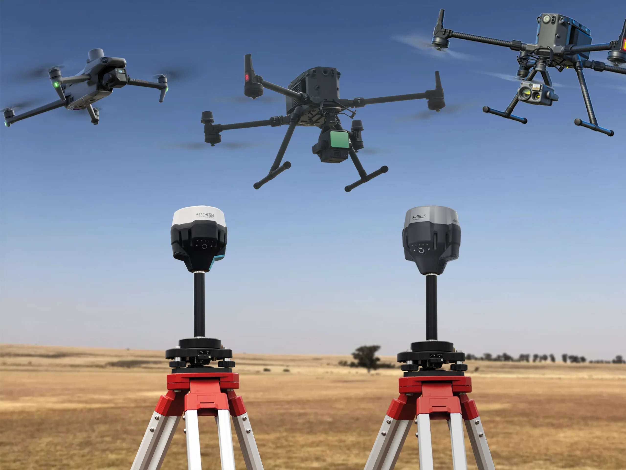
Fig.1 – RTK survey with Emlid GPS base and DJI Enterprise series drones
Drone RTK technology has recently received considerable attention from professionals working in GIS and land surveying, for example. The reason for this attention is readily apparent to anyone who has used a standard drone for land surveying and, of course, to those who already use an RTK drone.
RTK module: the GNSS antenna on board the drone
If you're new to drone surveying, there's nothing extraordinary about these "enhanced" drones equipped with an RTK module . This is a standard GNSS antenna (preferably multi-frequency), typically located on the back of the drone. Thanks to the RC (radio signal*) connection , the drone's position accuracy during flight can be increased to within a few centimeters.
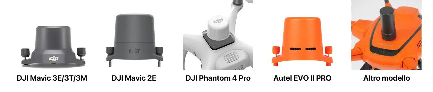
Fig.3 – Some RTK modules of drones
This accurate data on the drone's position during flight ( lat, long, altitude, time ) is information in the form of strings, which generally weigh a few KB, and will be used to correct the metadata of the photos taken during the flight (which are then what we will process with Metashape , for example, if we were to do Photogrammetry).
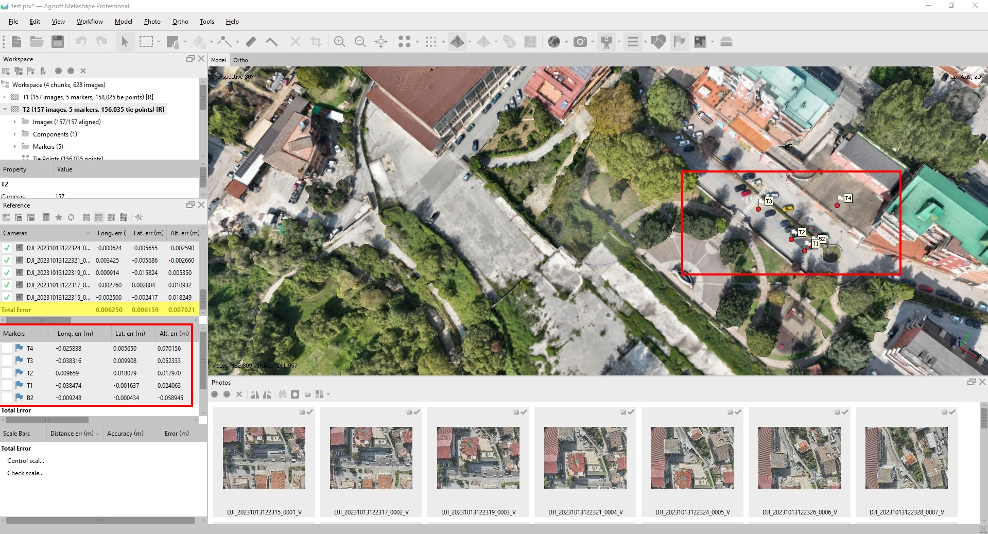
Fig.4 – Centimeter-accurate data processed in Metashape
Advantages of an RTK drone
Simply put, the advantages of having a drone with RTK on board , without claiming to be exhaustive, can be truly many, to name a few:
- Goodbye target, but not entirely . I usually always position and detect some with my Emlid Reach RS3 GPS because I'll use it during data processing as a comparison and confirmation of the achieved accuracy. But I assure you that placing 60/70 GPCs on the ground, detecting them, and then going to retrieve them after the flight is such a slog that it alone is worth the price of the drone.
- You work safely , because GCPs must be placed on slope changes (this is necessary to increase accuracy when flying with a normal drone).
- Reduce errors , because when you detect a small number of GCPs, and by pure bad luck the set of coordinates collected in the field is incorrect (high DOP or otherwise), you may be forced to return to the site to detect the GCPs again.
- Increase accuracy because each individual photo will have a position in space, accurate to the centimeter, thus ensuring uniformity of the data across the entire area covered by the survey.
- You're faster because, obviously, you no longer have to spend all that time reaching GCP positioning points. More speed = Reduced costs in the field.
Limitations of an RTK drone
I've surely forgotten something, don't be offended, but I want to address the biggest limitation of this technology : network coverage across the country .
If you don't have internet, you can't receive differential corrections from different services. GNSS, both paid and free, present in the area.
Without fixes, there's no FIX status, so no centimeter-accurate flight; your very expensive drone will be forced to fly like its "less doped brother" in terms of features and price.
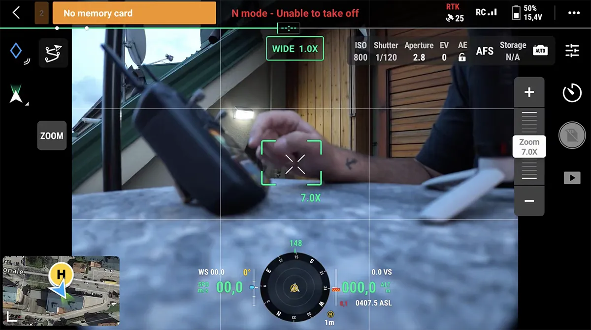
Fig.5 – Radio control with “ FIX red” status
Honestly? Not having an internet connection in the field and, therefore, not being able to fly my DJI Mavic 3E and Matrice 400 This happened to me countless times in RTK mode. This resulted in endless flight mission changes, resulting in a reduction in the much-vaunted speed and accuracy.
But from today, with the EMLID antennas in the RS2+ and RS3 versions , you can tackle any survey, even those in areas where the internet has not yet arrived. Yes, because the Emlid GNSS antennas, in addition to being used as a normal Topographic Rover, can be transformed into a FIXED BASE for transmitting corrections to the RC of the DJI Drone with RTK on board. You will fly in FIX without any effort and in just a few seconds, thanks to the intuitive interface of the dedicated APPs.
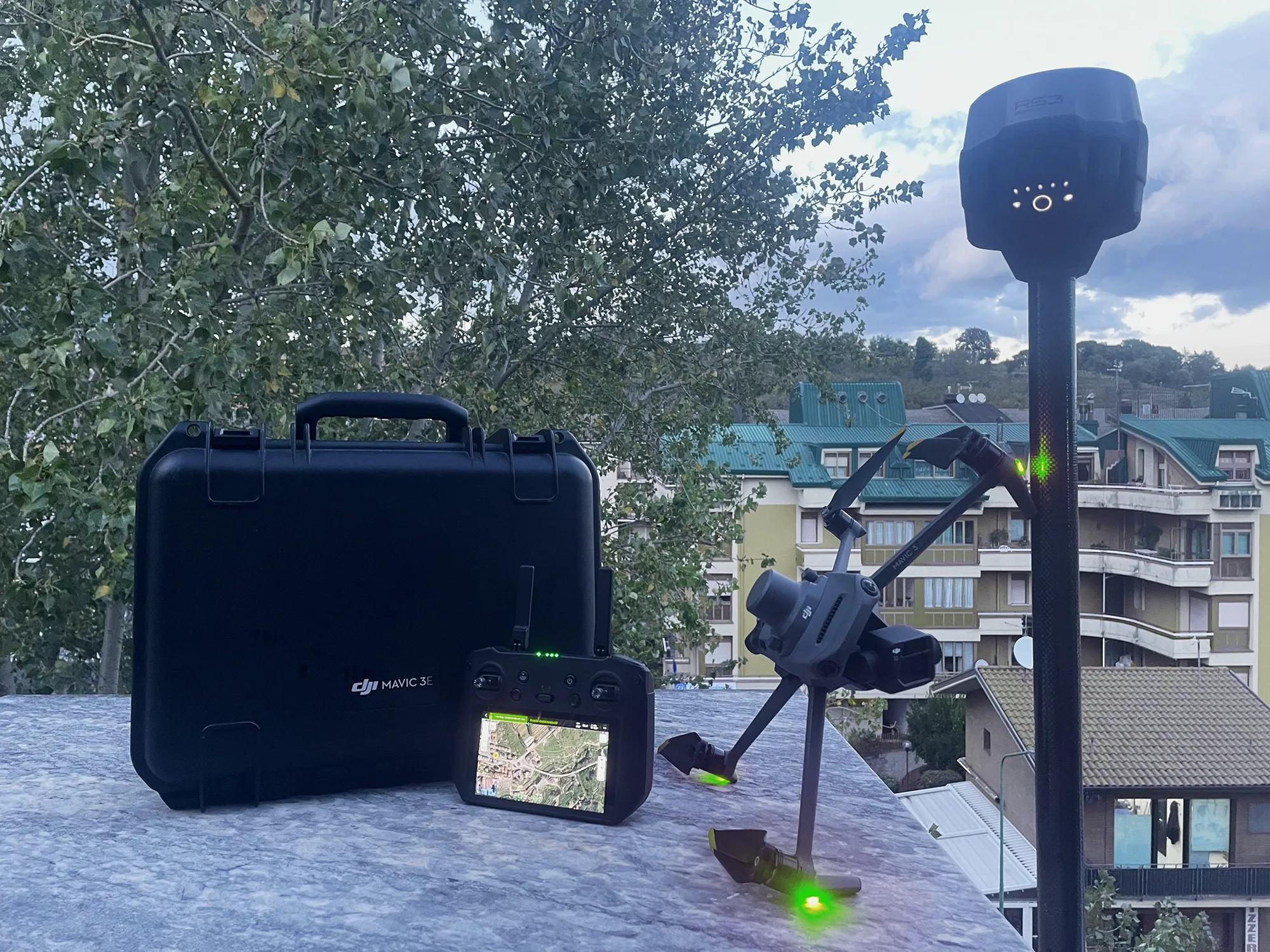
Fig.6 – Emlid Reach RS3 base for DJI Mavic 3 Enterprise drone
Unparalleled flexibility places EMLID at the forefront of its commitment to low-cost synergy for platforms dedicated to the world of GIS and Construction.

 https://www.instagram.com/3digital.tech/